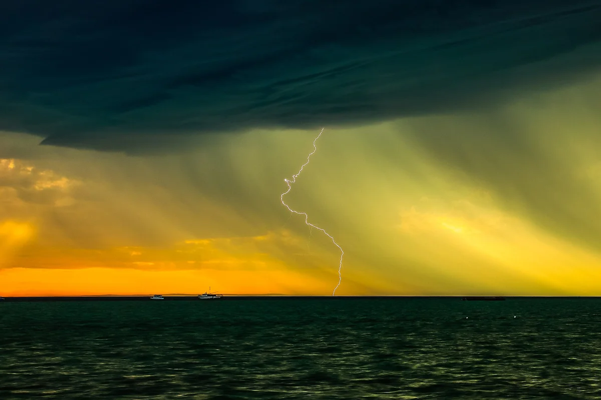

Western Australia's skies have produced one of the most intense bursts of lightning in recent memory, with more than 1.3 million lightning pulses detected across the state in just two days — and forecasters say at least another million are on the way before the week is out.
The DTN Total Lightning Network recorded 1,383,798 lightning pulses within 800 kilometres of Leonora in the 48 hours to 8am AWST on Monday, 28 September 2026, according to Weatherzone. About 900,000 of those came in the 24 hours to 8am on Monday alone.
What caused it
A slow-moving low pressure trough, fed by tropical moisture from the Indian Ocean, sat over the state across the King's Birthday long weekend. Storms broke out over an enormous area — from the south coast to the Kimberley, and from the Interior to the west coast.
Spring storms are not unusual in WA, but Weatherzone said this system stood out for how long it lingered over the same ground.
"This system has caused an unusually large amount of lightning over the same area for a prolonged period." — Weatherzone
Weatherzone linked the stormy September to El Niño and a developing positive Indian Ocean Dipole, a combination that tends to park high pressure systems south of the continent and trap storm-producing troughs over WA.
The rain
The storms brought serious falls to parts of the Goldfields and the south. Kalgoorlie-Boulder Airport collected 66 millimetres between Friday morning and Monday morning — roughly five times the town's September average in three days.
Leonora recorded 18mm in the 24 hours to 9am on Monday, taking its September total to 125.8mm, while Jacup in the Great Southern had 20.8mm, pushing its monthly tally past 105mm, according to figures posted by Weather WA.
Warnings still in place
The Bureau of Meteorology issued a severe thunderstorm warning for parts of the Goldfields, Midlands and Great Southern on Monday, and the Department of Fire and Emergency Services has kept storm advice running through the day. DFES's latest update, issued at 9.44pm on Monday, told people in parts of the Goldfields–Midlands to monitor conditions.
Anyone travelling through storm-affected regions should keep an eye on Emergency WA and the Bureau's warnings, avoid driving through floodwater, and stay indoors and away from windows when storms are overhead.
What it means for Perth
Perth has largely been on the edge of the action. The Bureau has no warnings in place for the metro area, and its forecast for Tuesday is a shower or two and a top of around 20 degrees, clearing to mostly sunny skies on Wednesday and sunny, 23-degree days by Friday and Saturday.
What happens next
The unsettled pattern is not finished with the rest of the state. Weatherzone expects rain and thunderstorms to keep affecting a broad area of WA from Monday until at least Friday, likely bringing at least another 1,000,000 lightning strikes and a further 30 to 60 millimetres of rain in some areas.
For pastoralists and farmers in the Goldfields and Great Southern heading into harvest, that is a mixed blessing: welcome moisture for some, but the risk of damaging winds, hail and lightning-sparked fires for others.
Photo: Murray Foubister via Wikimedia Commons (CC BY-SA 2.0). File photo of a lightning storm at Denham, WA — not from this week's storms.
Comments